Johannesburg - Wild Coast
Departure 2014-Jan-23 - 14.00 Arrival 2014-Jan-27 - 18.30
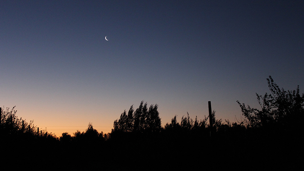
"You should find a camp ground around 4-5 PM, then set up your camp site" they said at the car dealer ... "Well done" I am thinking when I find myself in the middle of nowhere, the first night of camping. I am at the end of a gravel road, 10km into the country side from the last turn off the tarmac and passed three closed fences! What they didn't mention is that South Africans, generally speaking, are amazingly friendly and helpful. Thus, once calling the owner of the closed (and rather non-existing-looking) campground, he offers a pick-up as well as camping on his ground beside is house. Lucky me!
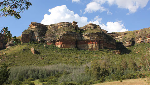
The next day is well better planned: after visiting Clarens, a surprising little artists town, the car is parked and tent is pitched on the Camelroc Farm at 3 PM the next day. Not doing the same mistake twice, here! The farm is located in a canyon right next to the Lesotho boarder and close to the Golden Gate Highlands National Park - the views are just stunning! Mainly because heavy thunderstorms are approaching from all sides. But ... the views are stunning!
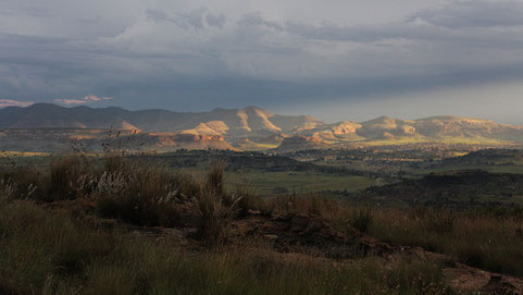
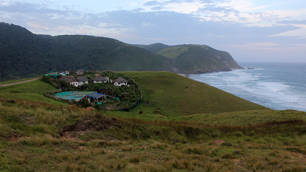
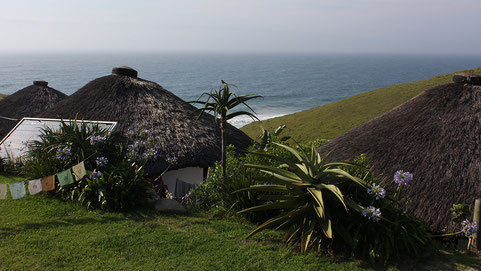
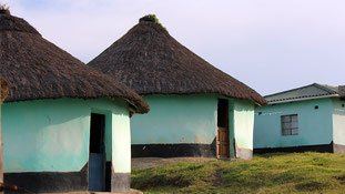
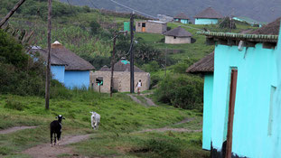
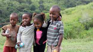
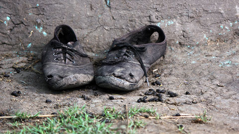
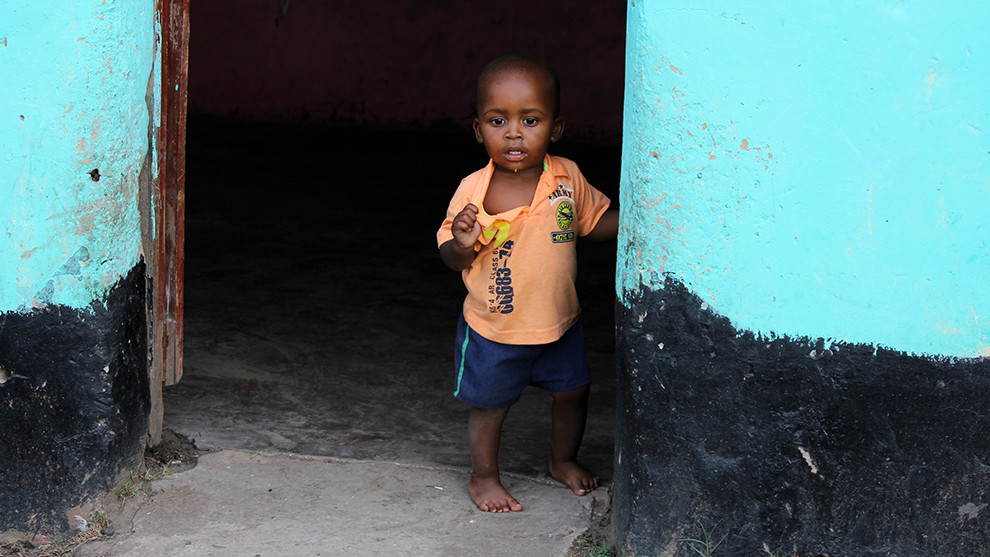
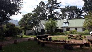
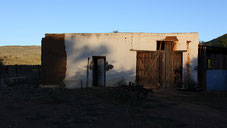
After having passed Lesotho in only one day and one night, I am on the way to the Wild Coast, passing through a vast area of very rural South Africa: the Transkei. In the days of the Apartheid you needed a passport to enter this area, I will learn later on. Hardly any white people are around and houses are more like huts or they consist of plastic, cardboard and corrugated sheets. Traveling through here takes longer then I expected, but staying overnight is not an option as there are no campgrounds within an area of 200km. Or at least the one I see doesn't look very inviting to me. In Mthata (....spoken Umtata) the road leads back an hour to get to Port Edward, where the Wild Coast starts. As it is too late to go on further, on the spot it is decided to back trek to "The Kraal". This is an autonomous backpackers in the area of Tombo, which only uses solar energy and harvests rain water. It has three traditionally built huts, a main house with a kitchen and a small yard in which two to three cars can park and tents can be pitched.
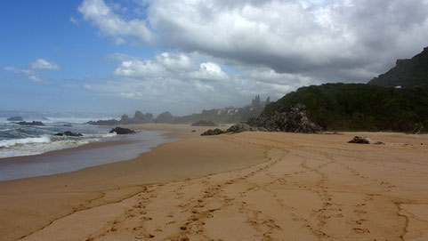
The Kraal is located right next to the beach, on the beautiful and very wild coast! The surf is big, the Indian ocean cold and the current strong! Three days I stay in this secluded little paradise, but when the wind picks up and the tent is about to fly off the roof, the Kraal is left behind and I make my way back to the inland: Hogsback ( or Hobbit-town) will be the next stop.

Wild Coast - Karoo
Departure 2014-Jan-29 - 9.00 Arrival 2014-Feb-01 - 17.00
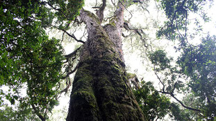
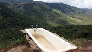
With it's indigenous forest, dramatic cliffs and waterfalls Hogsback is a true beauty. They say it inspired Mr. Tolkien to write "The Hobbit". After a hike through the forest, passing waterfalls and centuries old trees I believe this fairytale could be true. However, it seems many fairy tales are told in the hostel "Away with the Fairies", a simple backpacker in the woods that feels like being 20 years back in time. The bathtub overlooking Hogsback's three hills is the coolest thing in this place! Well - the monkeys jumping on the tents are also a funny sight! I am just glad they didn't use mine!
The days in the forest are cold and slightly wet! Hogsback is 1200m above sea level and the clouds seem to be stuck in the hills. I should not complain though, as the days that are to follow in the Karoo are just the opposite: hot and extremely dry!


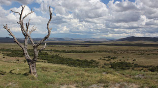
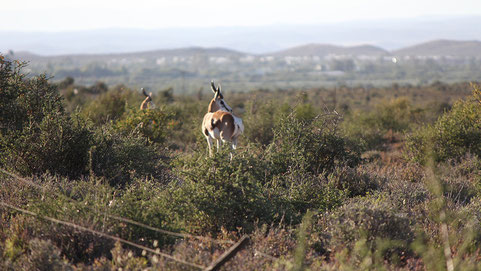
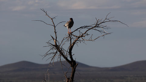
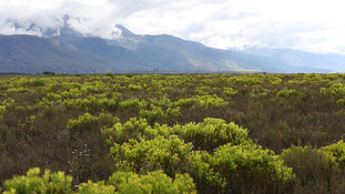
The Karoo is South Africas semi desert natural region, covering almost one third of the country. With its stunning mountains, dry planes, ostrich- and alpaca farms, monkeys crossing the deserted highway - driving through here feels like being in a different country. It is surprising how drastic the countryside changes in South Afrca within only a hundred kilometres. From fertile farm land to highlands with forests to desert-like planes... and with it its vegetation and temperatures. Crazy!
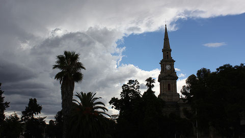
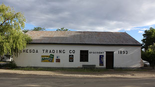
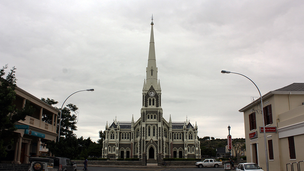
Cradock, New Bethesda, Graaf-Reinet and Prince Albert are the jewels of this region and they are all somehow special. With their impressive churches, beautiful architecture and massive nature around them they seem like small islands in the wild.
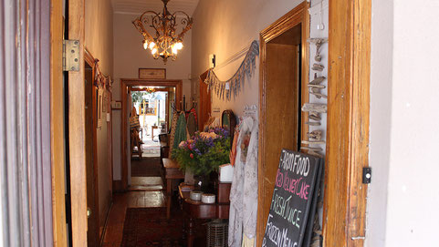

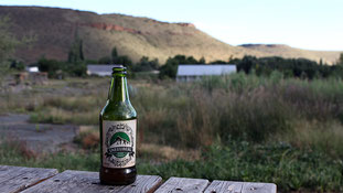

Some cities I am only passing through, but in Prince Albert I end up staying a couple of days. On the beautiful and remote Oudekloof Guestfarm I am feasting on locally produced olives, cheese and wine, enjoying South Africa.
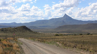
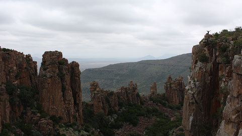
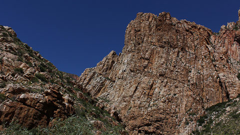
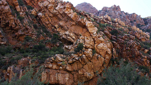
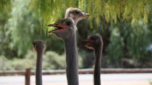
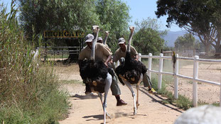
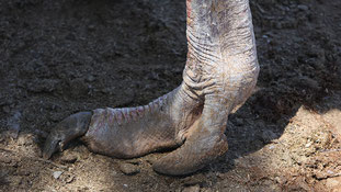
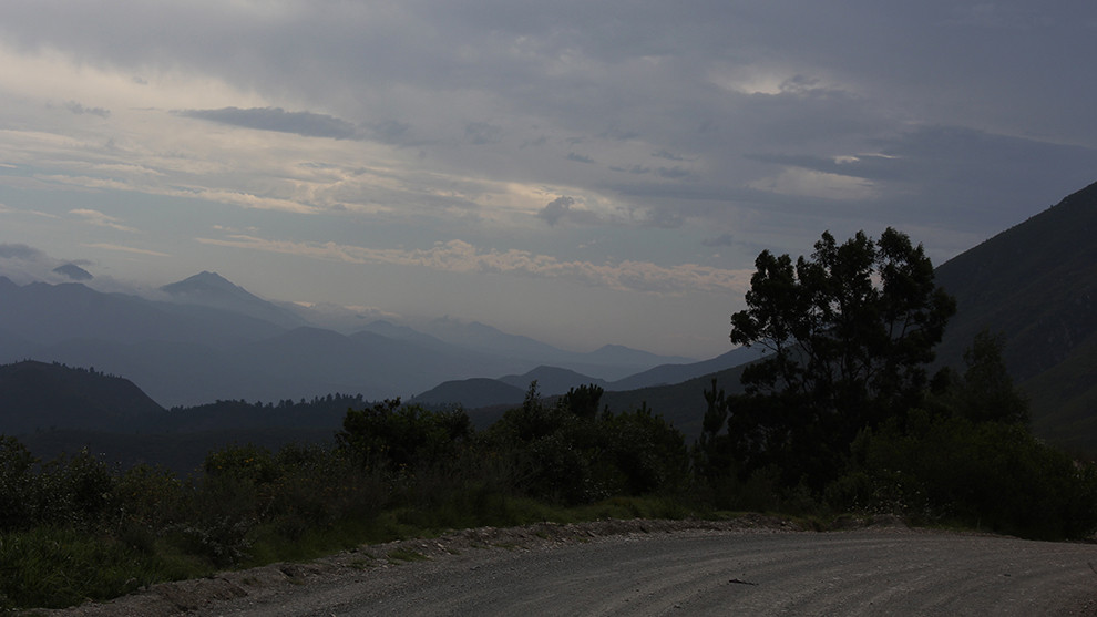
Next I will go back towards the coastline and the Garden Route, leaving the Karoo behind. I get to drive through the Swartberg Pass, a masterpiece of construction. It winds through a narrow valley with amazing stone formations and ends up in the Little Karoo, an area famous for ostrich farming, especially the city of Oudtshoorn.


Little Karoo - Garden Route
Departure 2014-Feb-04 - 8.00 Arrival 2014-Feb-04 - 18.00
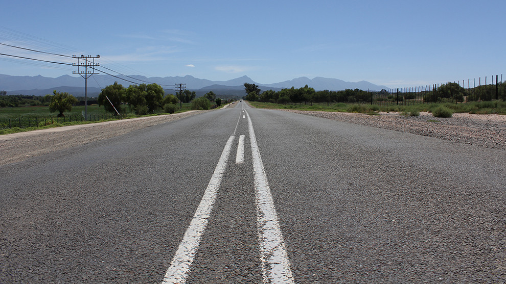
To get back to the coastline from the Karoo you actually have to cross two mountain ranges. Thus, I get to pass some beautiful parts of South Africa: the Swartberg Pass and the Prince Alfred Pass. The gravel roads are good but long and only by the evening I arrive in Plettenberg Bay, a small town right next to Knysna. A resort-town they call it in the guidebook - and a resort-town it is...
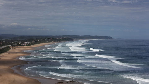
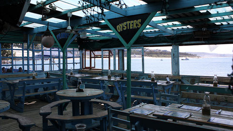
The renown Garden Route is what I want to see. It ranges from Jeffreys Bay in the East to Mossel Bay in the West. Coming from the West and only starting in Plettenberg Bay, I might have missed the better part of it (... the Tsitsikamma National Park east of Plettenberg Bay is said to be astonishing). The towns I pass on my way to Mossel Bay are welcoming places with an indeed amazing coastline, but majorly touristy. Not my thing! Except: the oysters in Mossel Bay were pretty delicious ...
I finish this famous stretch of South Africa in a few hours only. Off to the countryside and into the Buntebock National Park close to Swellendam I am.


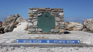
The most southern point of South Africa is where the Indian and Atlantic Ocean meet. The little town of Agulhas evolved around this attraction. A few restaurants, a shop, some B&B's and a few travel-groups can be found here. Once you have taken your picture of the little memorial the tip of Africa you are okay to leave again.... and that is what I do.
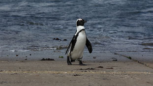
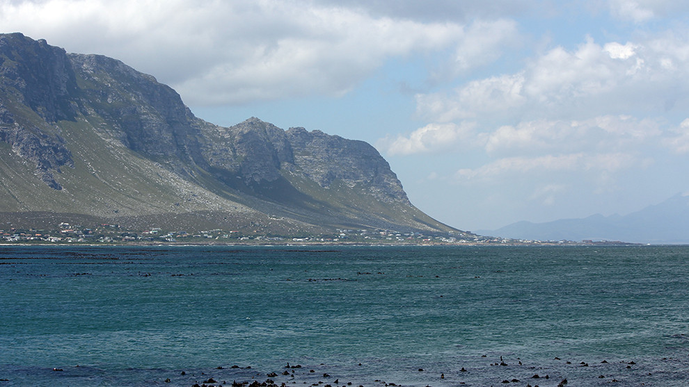
The stretch from Agulhas to Capetown is defined by a wonderful coastline. There are a couple of villages but actually it is all about the ocean and its inhabitants: Whales, the Great White, seals and penguins. In Hermanus, an 1.5 hours south-east of Capetown, you can see them all (if you then want to or are in the right season ... ). Even though I "only" get to see the penguins here, I am absolutely satisfied. I am not in the season for the whales and I decide not to go for the shark-dive. What's so amazing about the Great White anyways, eh?!
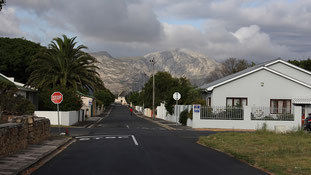
Hermanus is a lovely seaside town with many tourists and senior citizens, good to stay for a night or two. Strolling around the main square in the evening again I feel like being in Europe somewhere... Cuxhaven maybe?!
continue with ... CAPETOWN & AROUND